Reserve from the case
Shipping Estimate
USA
- USA
- CAN
- USA
- CAN
Ships within 48 hours · Estimated delivery Aug 22 - Aug 27
Reserve from the case
Ships within 48 hours · Estimated delivery Aug 22 - Aug 27
South: Wisconsin-Illinois state lines
and the Loxahatchee National Wildlife Refuge
city limits (color coded)
Perfect for both home and office
South: includes Joliet
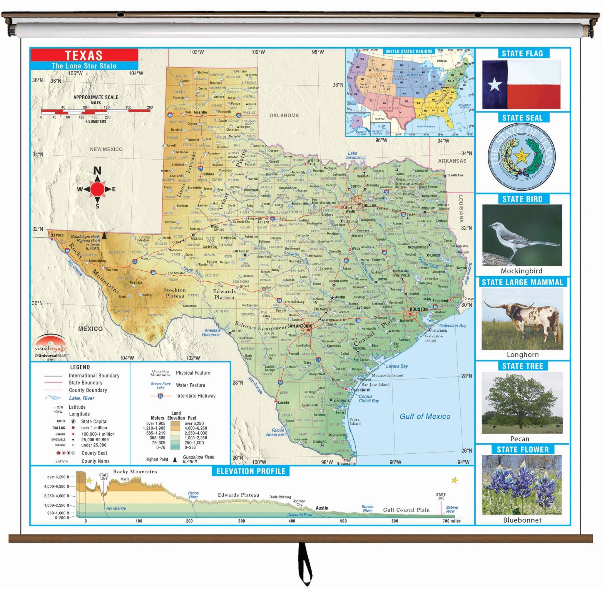
Texas State Primary Thematic Classroom Wall Map Illumination_Illuminated South: Wisconsin-Illinois state linesThe Texas State Primary Thematic Wall Map is the perfect teaching aid for state studies and related subjects. Political physical maps with hypsometric colorations; shows county boundaries, interstate highways, county seats, cities and towns and state regions.. Maps correlate with state standards and curriculum guidelines. They are constructed of heavy paper, with a write on wipe off laminated finish that can be used with water based or wet erase pens.


Pay in 4 interest-free payments of $28.74 Learn more


